
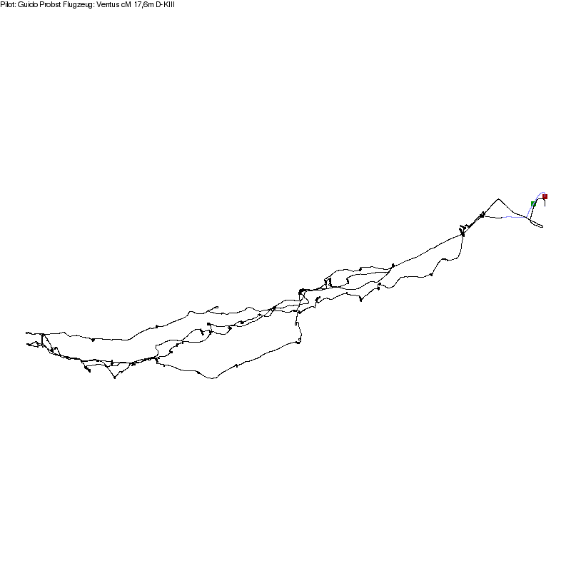
 Guido Probst

Fluginformationen
| Flugtag | 30.04.2017 |
| Pilot | Probst Guido |
| Verein | FAS Wien |
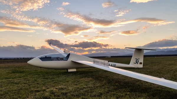
| Kennzeichen | D-KIII, 3I (Ventus cM 17,6m) |
| Flugzeugindex | 115 |
| Startplatz | Wr Neustadt West |
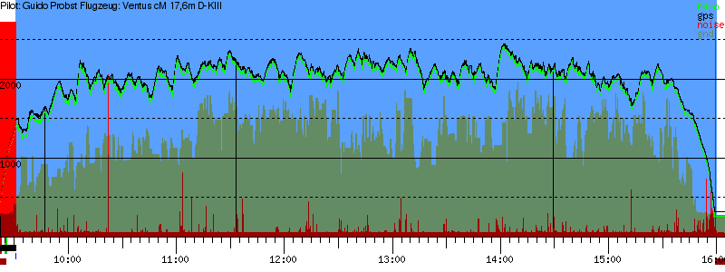
| Strecke | 453.65 km |
| Punkte mit Index | 313.84 pkt |
| Schnittgeschw. | 70.02 km/h |
| JoJo-Anteil | 41 % (81 Pkte) |
| Liga Schnitt | 57.94 km/h (49.99 pkt ) |
| Bewertung | |
| Status | Motorsensor ok Aufzeichnung ok GRecord ok FR ok Strecke ok |
| share on | twitter facebook |
Wetter:


Beschreibung:
Berechnung
Datei: 2017-04-30-FLA-RHT-00.igcLogger: FLA #RHT
Flugtag: 2017-04-30
Pilot: Guido Probst
Flugzeug: D-KIII, Ventus cM 17,6m
Index: 115
Ursprung: sis-at
AAF: 09:31:02
EAF: 15:59:47
-----------------------------------
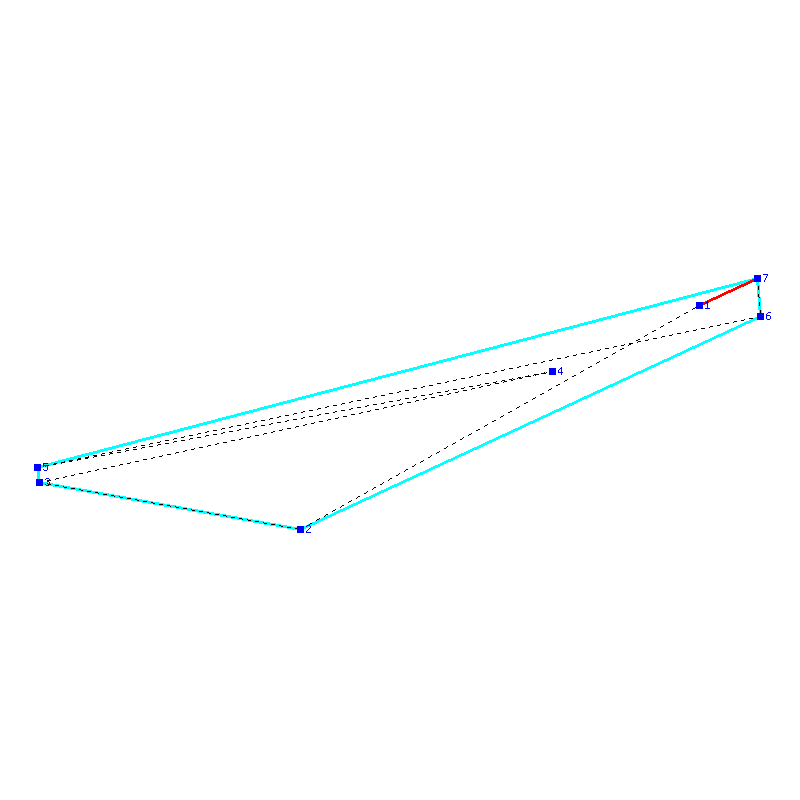
Abflug: 47:48:19N 016:04:22E
WP 1: 47:26:48N 015:07:28E 81.48 km
WP 2: 47:31:19N 014:30:17E 47.32 km
WP 3: 47:42:02N 015:43:19E 93.38 km
WP 4: 47:32:48N 014:29:57E 93.23 km
WP 5: 47:47:15N 016:12:58E 131.33 km
Ende: 47:50:58N 016:12:32E 6.91 km
Punkte: 313.84
Strecke: 453.65 km
Gummiband : 279.48 km
Rest: 11.29 km
-----------------------------------
v17132.124322
Legende
Achtung:
Die Punkte können sich teilweise überlagern!